
Pristatymo terminas visoje Lietuvoje: 5-7 d.d.
Pristatymo kaina nurodytu adresu: Pristatymas nemokamas


Aprašymas
Trumpai apie prekę
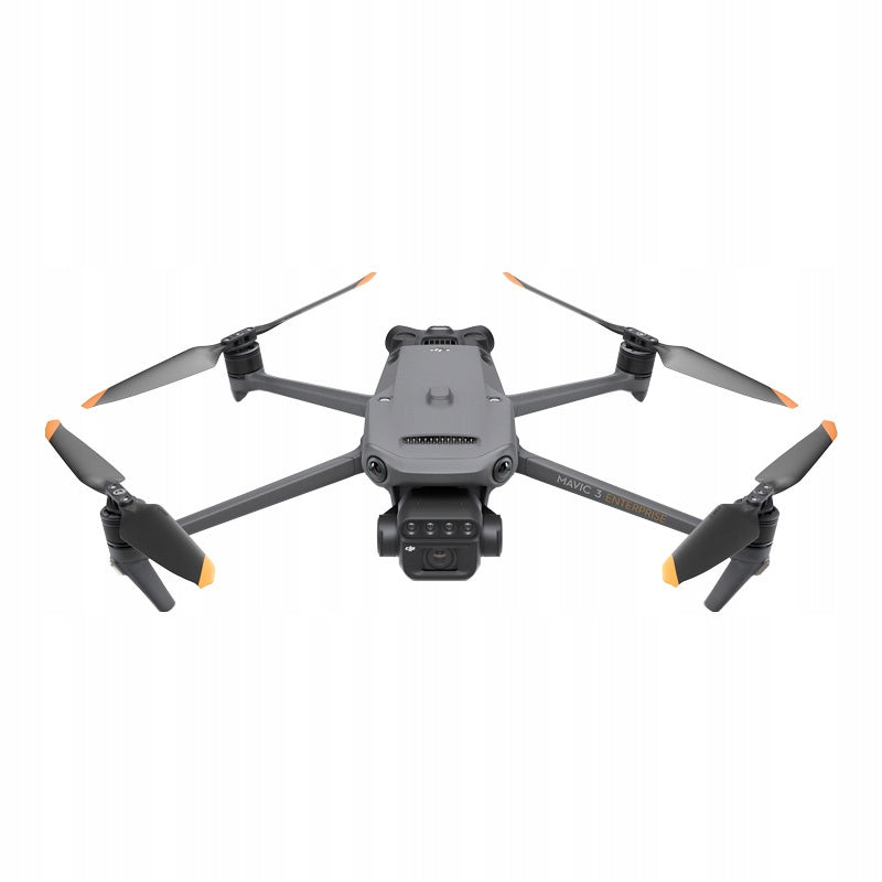
Prekė: Dronas DJI Mavic 3 Multispectral, C2, 8000 m atstumas, 5000 mAh baterija. Kategorija: Dronai ir multikopteriai.
- Gamintojas: DJI
- Modelis: DJI Mavic 3 Multispectral C2
Drone DJI Mavic 3 Multispectral C2 + DJI Care 1 year
DJI Enterprise
DJI Mavic 3 Multispectral - Capture more data, work more efficiently
To carry out effective aerial measurements, you need to see the invisible. That is why Mavic 3 Multispectral offers two forms of vision. It combines an RGB camera with a multispectral camera to scan and analyze crop growth for complete transparency. Agricultural production management requires precision and data, and the Mavic 3M meets both of these requirements.
Highly integrated imaging system
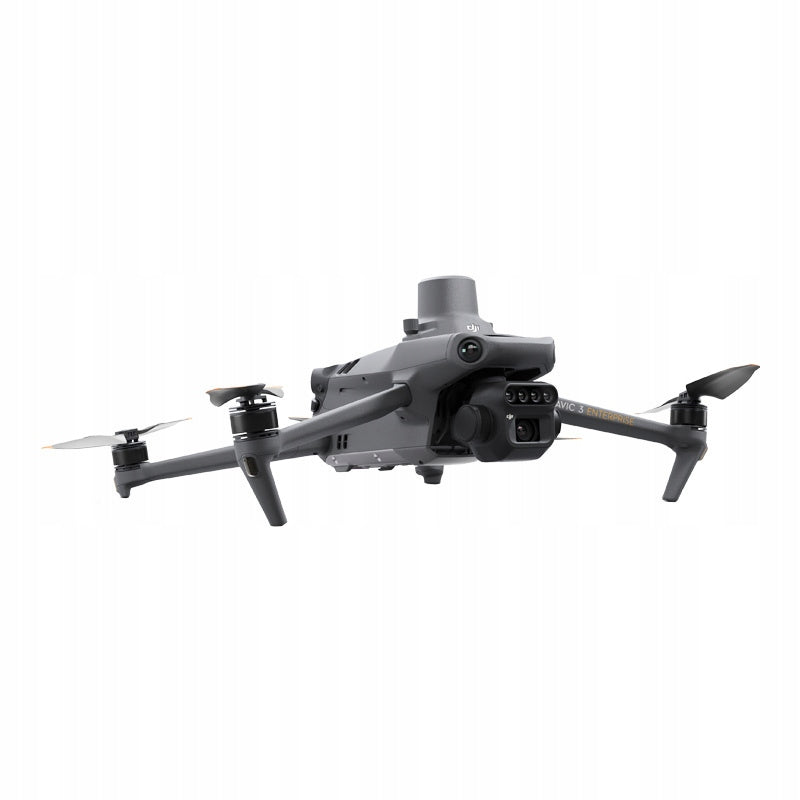
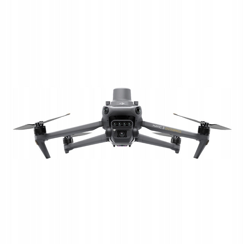
Newly improved imaging system with one 20 MP RGB camera and four 5 MP multispectral cameras (green, red, red edge and near infrared). It will work well in applications such as precise aviation measurements, crop growth monitoring and natural resource research.
Multispectral sensors with 5 MP resolution
Four multispectral cameras - green band, red band, red edge and near infrared.
Sunlight sensor
The built-in sensor captures solar radiation and saves it in an image file, allowing you to align the light during 2D reconstruction. As a result, you can enjoy more accurate NDVI results, as well as greater precision and consistency in the data you collect over time.
Accurate images that capture every pixel
The Mavic 3M is equipped with an RTK module that provides positioning with centimeter accuracy. The flight control system, camera and RTK module synchronize within microseconds to precisely determine the position of each camera’s imaging center. This allows the Mavic 3M to carry out accurate aerial measurements without the use of ground checkpoints.
Batteries optimized for performance
The flight time of up to 43 minutes allows you to cover more ground during each mission, which allows you to cover up to 200 hectares.
Convenient charging
Fast charging of batteries with a 100W HUB charger or direct charging of the drone with 88W fast charging.
Stable signal, smooth image transmission
The O3 system integrates two transmitting signals and four receiving signals, so it can provide a transmission range of up to 8 km.
Multidirectional obstacle detection [1], terrain-follow measurements
The drone is equipped with a number of vision sensors that are distinguished by a wide field of view, precisely detect obstacles in all directions and allow them to be smoothly avoided. What’s more, the Mavic 3M allows you to easily take terrain-follow measurements in areas with high inclination.
Mapping orchards
The Mavic 3M allows you to carry out terrain-follow measurements in orchards – even on sloping areas. You can also use it in conjunction with the DJI Terra or DJI SmartFarm Platform [6] to reconstruct high-resolution maps and take advantage of the ability to automatically identify trees, distinguish trees from other objects, as well as generate three-dimensional operational routes for agricultural drones. All this translates into greater safety and productivity.
Planning variable dosage of fertilizers and plant protection products
Fertilizing rice, regulating cotton growth or spraying potatoes with foliar fertilizers – in each of these cases DJI Mavic 3M will allow you to get multispectral images of crops. You can then use DJI Terra or DJI SmartFarm Platform [6] to prepare NDVI maps and other vegetation indices, capturing differences in crop potential and generating recommendation maps that will allow agricultural drones to dose the selected agents variablely. All this will allow users to reduce costs, increase yields and protect the environment.
Intelligent field reconnaissance
The Mavic 3M can perform automatic field reconnaissance and transmit field observation images to the DJI SmartFarm Platform [6] in real time over a 4G network. It enables quick detection of irregularities such as shortages of emergence, thickening of weeds or lodging of crops. It also allows intelligent analyses to be carried out, such as the identification of cotton seedlings and the testing of rice production. The drone uses artificial intelligence to share real-time crop growth information, facilitate the management of agronomic activities, and enable the seamless management of up to 70 hectares of land by a single person.
Monitoring of environment and natural resources
Mavic 3M will also be used in environmental and natural resource research, for example when monitoring water enrichment or checking forest distribution, controlling urban green areas and more.
Footnotes:
1. DO NOT fly in harsh weather conditions such as strong wind (wind speed 12 m/s or more), snow, rain or storm. DO NOT fly in areas located at an altitude of 6000 meters or higher above sea level. DO NOT fly a drone in environments where the temperature is below -10°C (14°F) or above 40°C (104°F). Do not take off from moving objects such as cars and ships. DO NOT fly near reflective surfaces such as water or snow. Otherwise, the vision positioning system may not work properly. When the GNSS signal is weak, fly the drone in environments with good lighting and visibility. The vision system may not function properly in low light conditions. Remember about flight safety when flying near sources of electromagnetic interference. Common sources of electromagnetic interference include high-voltage power lines, high-voltage transmission stations, radar stations, mobile phone base stations, broadcast towers, Wi-Fi hotspots, routers and Bluetooth devices.
2. In the case of the CE standard, the transmission range is up to 8 km. The transmission range of up to 15 km can be achieved according to the FCC standard only when measured in an outdoor environment without interference. The SRRC standard is adopted in mainland China, and the furthest transmission range in its case is 8 km. The above data is the furthest communication distances for one-way flights, without return, within any standard. During the flight, pay attention to the messages in the DJI Pilot 2 application.
3. Detailed test conditions: in a sunny environment without wind, the orthophotomap is obtained at a flight speed of 15 m/s, a flight height of 217 m, a ground sample distance (GSD) of 5,73 cm for visible and 10 cm for multispectral, a front-to-back application coefficient of 70% and a side application coefficient of 60%.
4. Measured during the flight of the DJI Mavic 3M at a constant speed of 36 km/h, at sea level, in windless environments until the battery level dropped to 0%. The information provided serves only as a reference. During the flight, always pay attention to the RTH messages in the DJI Pilot 2 application.
5. Optional accessories. This service is not available in some countries. Do not install the DJI Cellular module when you use a multispectral camera to capture data to avoid blocking the intensity sensor.
6. The DJI Smart Agricultural Platform will receive support in the second quarter of 2023. This service is not available in some countries.
Contents of the set
- Mavic 3 Multispectral drone
- RTK module
- DJI Care Enterprise Basic for 1 year
- DJI SmartFarm Platform
- DJI Terra software for 3 months
- 1x Drone battery
- A
- Gross weight: 4880
- Net weight: 2250
- Box length: 41,00
- Box width: 33,00
- Box height: 17,70
- Manufacturer code: DJI
- Manufacturer name: DJI Europe B.V.
- Manufacturer country: NL
- Manufacturer's city: Barendrecht
- Manufacturer's postal code: 49B01
- Manufacturer's street: LA
- Manufacturer number: 2992
- Code of the responsible person: DJI
- Name of the person responsible: DJI Europe B.V.
- Country of the person responsible: NL
- City of the person responsible: Barendrecht
- Postal code of the responsible person: 24569
- Street of the person responsible: LA
- Marketing Authorisation Number: 2992
Specifications
| Group | Name | Value |
|---|---|---|
| Parametry | Condition | new |
| Parametry | Invoice | With VAT invoice |
| Parametry | Brand | DJI |
| Parametry | Assembly | for assembly |
| Parametry | Model | DJI Mavic 3 Multispectral C2 |
| Parametry | Drive type | electric |
| Parametry | Camera | drone with camera |
| Parametry | Flight time | 43 min |
| Parametry | Battery capacity | 5000 mAh |
| Parametry | Flight control range | 8000 m |
| Parametry | Product weight with unit packaging | 4.89 kg |
| Parametry | EAN (GTIN) | 6941565971241 |
| Parametry | Manufacturer code | DJI |
| Parametry | Maximum speed | 54 km/h |
| Parametry | Camera resolution | 20 Mpx |
| Parametry | Video recording resolution | 4K |
| Parametry | Product weight | 951 g |
| Parametry | Batteries included | yes |
| Parametry | Age | 16 years + |
| Parametry | Certificates of conformity | CE |